Shanghai Metro Map Guide: Line expansions guide your journey
"The scale of the transit network is such that a single workday can see over 10 million riders moving through the city."
Navigating the massive Shanghai Metro system requires understanding its vast expansion and complex transfer points. This guide explores the network's history, current scale, and the strategic planning that governs its growth.
You will learn about the transit density, the expansion milestones, and the specific limitations regarding certain lines. 1. Understanding the scale of the 19-line network. 2. Reviewing the history of line expansions. 3. Identifying the speed variations between lines. * Recognizing the impact of daily ridership.
How massive is the Shanghai Metro Map Guide?

A traveler stands at a busy junction, looking at a map that seems to stretch across the entire metropolitan area. The sheer density of the lines can be overwhelming for a first-time visitor.
The network has grown significantly from its early stages to become one of the largest in the world. By the time of Expo 2010, the metro system consisted of 11 lines, 407 km, and 277 stations. This foundational growth set the stage for much more ambitious expansions in the following decade.
As the network expanded, the complexity of transfers increased. By the end of 2021, most lines in the master plan were opened, leading to 19 lines, 802 km, and 516 stations, with the exception of line 20, the Jiamin line, and the Chongming line.
This scale ensures that the Shanghai Metro Map Guide remains a vital tool for millions of daily commuters.
What defines the history of Shanghai Metro Lines?
An engineer reviews old blueprints, tracing the path of the original tracks laid decades ago. The evolution of the system shows a transition from local lines to a massive intercity network.
The development began with targeted phases designed to connect growing urban centers. For example, the 25 km Pearl line (line 3) opened for revenue service in 2001. This helped establish the groundwork for the multi-line system seen today.
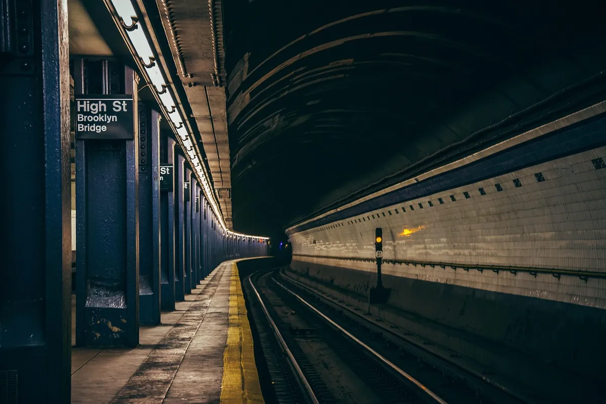
Expansion also pushed boundaries beyond the city limits. On October 16, 2013, with the extension of line 11 into Kunshan in Jiangsu province, the Shanghai Metro became the first rapid transit system in China to provide cross-provincial service.
This development highlights how the Shanghai Metro Lines have evolved to serve broader regional needs.
According to World Bank, the 2025 record includes 91.6%.
How can I master Metro Transfer Help?
A commuter rushes through a wide underground corridor, moving from one platform to another to catch a connecting train. The efficiency of these movements depends on understanding the network's layout.
The system's growth was driven by a long-term vision to manage urban density. Part of the Master Plan included a 40-year phased program that would eventually see the construction of 11 metro lines covering over 325 km by 2025.
While the current reality exceeds these early projections, the structured planning remains key.
The scale of the system means that transfers are often the most time-consuming part of a journey. Because the network includes intercity lines, urban lines, and local lines, understanding the different types of transit is essential for effective Metro Transfer Help.
What is the current Shanghai Transit Info?
A passenger checks their watch while standing on a platform, preparing for a high-speed transit leg. The current state of the network reflects intense daily usage and constant movement. According to World Bank data, China recorded high-technology share of manufactured exports of 26.3% in 2024.
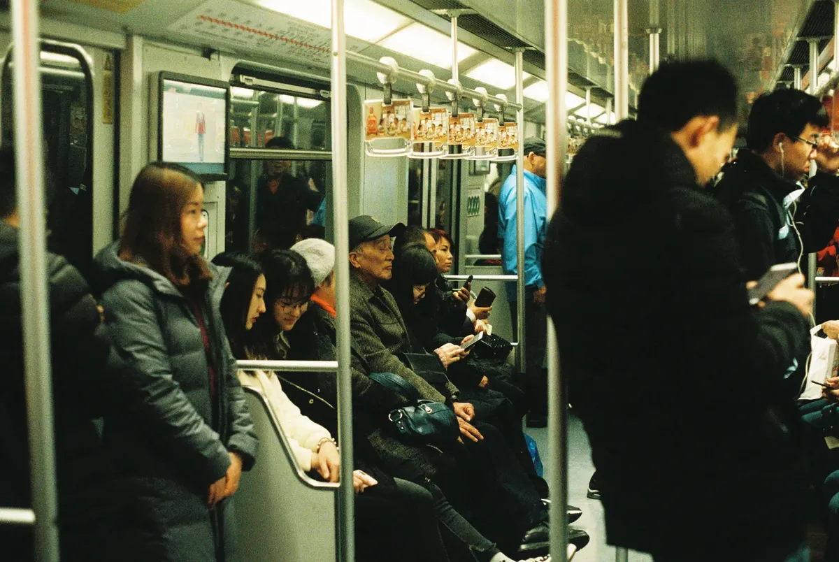
The system handles an incredible volume of people every single day. Ridership routinely stands at over 10 million on an average workday, accounting for 73% of trips on public transport in the city. This high volume necessitates a robust and well-maintained infrastructure.
Travelers must also be aware of varying speeds across the network. On most lines the maximum operating speed is 80 km/h, but on Lines 11 and 17, the maximum operating speed reaches 100 km/h. Keeping this Shanghai Transit Info in mind helps in planning more efficient travel times.
How do I use a Subway Route Finder?
A student sits on a bench, tracing a potential route through various intersections on a printed map. Finding the right path requires knowledge of both line numbers and speed capabilities.
Effective travel involves matching the line to the specific destination and speed requirements. For instance, if a traveler needs to move quickly, they might prioritize lines with higher speed limits. Using a Subway Route Finder approach helps in selecting the best path among the 516 stations.
The growth of the network has been rapid, with ridership increasing between 2011 and 2016 by 10% per annum, and between 2017 and 2019 by 5%. This constant increase in usage means that the network is always being optimized for better flow.
How to navigate the network?
A commuter walks through a brightly lit station entrance, preparing for a journey across the city. To use the system effectively, one must follow a logical approach to navigating the vast layout.

- Identify your destination and the nearest line on the map. 2. Check for specific speed limits on your chosen line to estimate travel time. 3. Verify if your route requires a cross-provincial or intercity transfer.
After selecting a route, always check for any planned service changes or line-specific limitations. I find that checking the specific line number against the map is the most reliable way to ensure a smooth transfer.
A limitation of the current network is that certain lines, specifically line 20, the Jiamin line, and the Chongming line, were excluded from the 2021 expansion phase.
This part also covers Efficient Metro Transfers.
This part also covers Using Shanghai Subway.
Navigating Shanghai Metro
Related
- What defines the scale of early Shanghai animation art?
- Shanghai Metro: Navigating the City's Pulse with Efficiency
Considering the Transit Scale and its Implications?
The sheer scale of the transit network dictates the operational demands placed upon it. The high ridership figure reflects the metro's successful integration into the daily lives of city dwellers. This massive scale underscores the metro's role as a critical piece of urban infrastructure.
What is the comparative advantage of the network's growth?
The comparison between the early stages and the current state illustrates remarkable development. The initial 11-line network achieved substantial coverage, but the subsequent additions pushed the operational boundaries further.
This continuous growth demonstrates the system's adaptability to the city's evolving needs.






Comments 0